
A chilly trip to Mewslade Bay with Y12 Geographers.
On Friday year 12 geographers visited Mewslade Bay as part of their topic on Glaciated Landscapes.
The trip started with a ‘near-miss’ as Mr Todd, driving the school minibus dropped us off and left before we’d gathered our clipboards and equipment. Luckily, he returned a few minutes later.
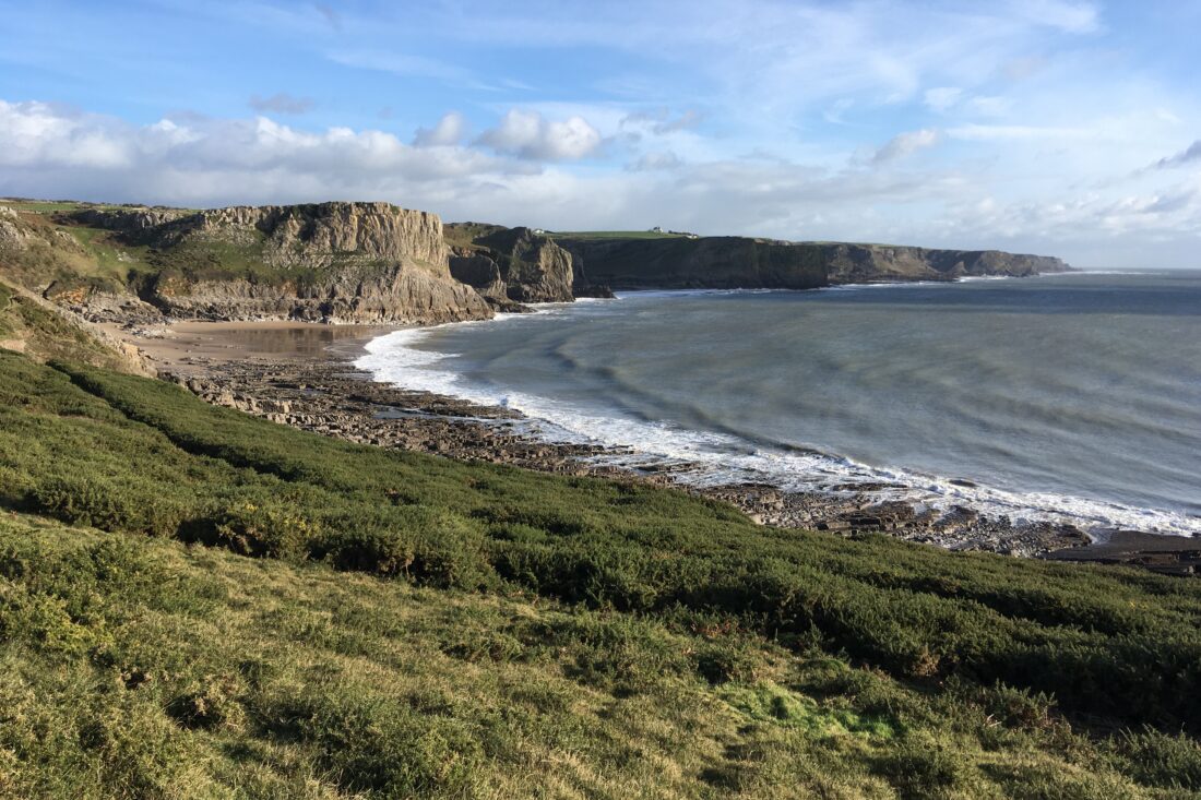
The trip began with a 1/2 mile walk down Mewslade Valley from Pitton Cross. Here, students gained a good vantage point to observe the asymmetrical dry valley at Mewslade and learnt about how it formed during the last Ice Age. Next the students learnt about the formation of the scree slope at Mewslade and conducted a series of surveys to explore its structure and the role of freeze-thaw weathering. Students descended the scree slopes measuring the size and roundness of scree ‘clasts’ as well as the percentage of vegetation coverage. They will present these finding in class using a range of graphs and charts and use them to answer a series of research questions.
Following the scree survey, we ate packed lunches sat on the bank in the sunshine before walking, or rather ‘slipping’, our way along the 2mile stretch of coastal path to Rhossili, where we were collected.
Thanks to all the students involved who were keen and enthusiastic throughout, to Mr Todd for driving the minibus and to Nick Felstead, Lecturer in Physical Geography at Swansea University, who helped us out on the day too.